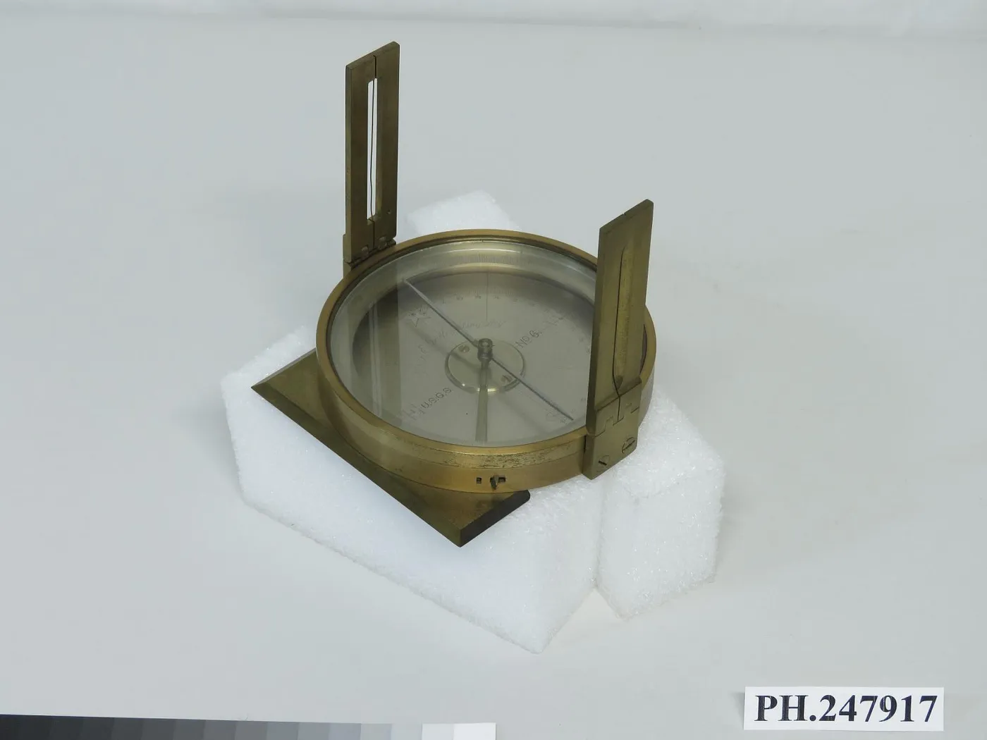
Surveyor's Vernier Compass
Its magnetic needle pointed north, and sights or a small telescope let a surveyor measure directions and boundaries.
- Maker
- W. & L. E. Gurley
- Place
- United States: New York, Troy
- Dimensions
- overall: 4 3/8 in; 11.1125 cm; needle: 3 1/2 in; 8.89 cm; overall: 6 in x 4 3/4 in x 4 7/8 in; 15.24 cm x 12.065 cm x 12.3825 cm
- Museum
- National Museum of American History
- Credit line
- U.S. Geological Survey
Gurley described this as "a most excellent and portable little instrument," noting that it "is especially useful for the surveyor of government lands." New, it cost $21. The rim is graduated to 30 minutes. The right side of the face is graduated to degrees, and numbered every 10 degrees from west to north, and from west to south. The outside of the box has a variation arc that extends ± 20 degrees, and that reads by folded vernier to 5 minutes. The U.S. Geological Survey, was established in 1879, and transferred this example it to the Smithsonian in 1907.
Ref: W. & L. E. Gurley, A Manual of the Principal Instruments Used in American Engineering and Surveying (Troy, N.Y., 1878), p. 138.
The museum's own record (Smithsonian, National Museum of American History)
Also by W. & L. E. Gurley see all
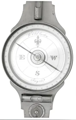 Surveyor's Compass
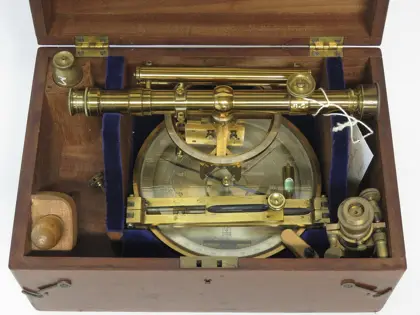 Vernier Compass with Telescope
Also made in Troy see all
Also answering “Where am I?” see all
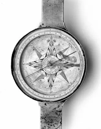 Surveyor's Vernier Compass
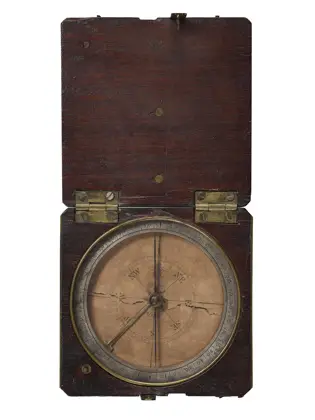 Pocket compass from the Lewis and Clark Expedition, 1804-1806
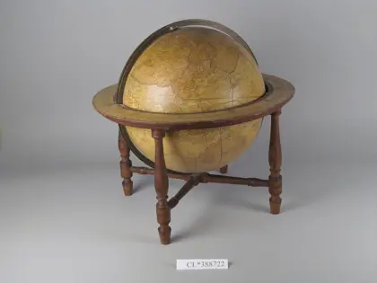 James Wilson's Terrestrial Globe, 1811
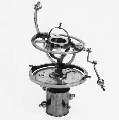 Solar Compass
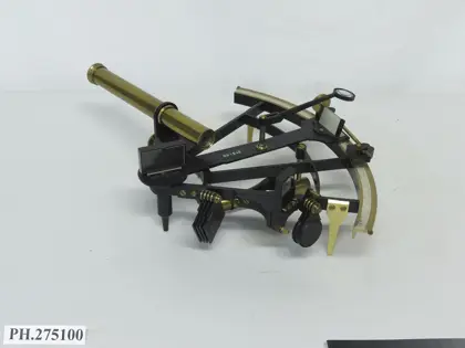 Sextant
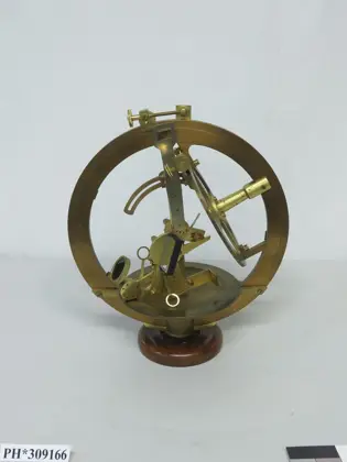 Equatorial Sextant
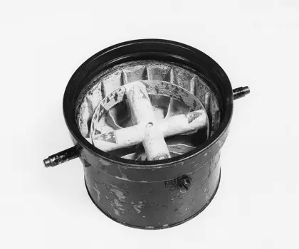 Liquid Compass
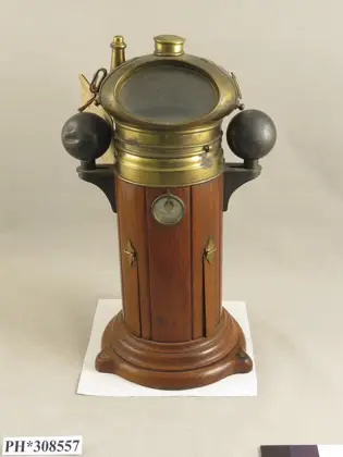 Dry Card Compass with Binnacle
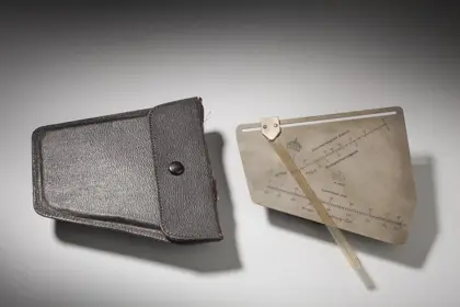 Plotter, Drift
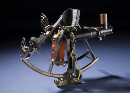 Sextant, Brandis, with Willson Bubble Telescope, Early
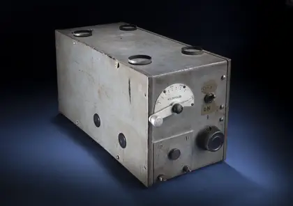 Receiver, Radio Range, ARC, Lab Prototype, Model B
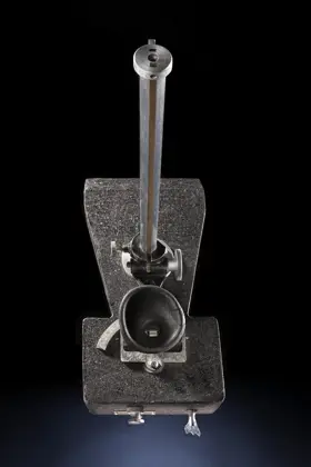 Sight, Drift & Ground Speed, Gatty